Data-Driven Maps for Smarter Decisions
Visualize, analyze, and interpret spatial data with precision. Our advanced mapping solutions empower governments, businesses, and researchers to plan with confidence.


Centimeter Precision Data for knowing more in less time.

Real-time aerial insights for enhanced Project Monitoring and operations.

Accessing hard-to-reach areas with ease, delivering high-resolution insights for critical infrastructure assessment.

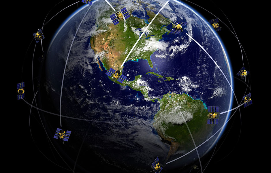
Space-powered geospatial intelligence for large-scale analysis.

Precision laser scanning using Drone, Mobile, and Stationary platforms for precision mapping and analysis.

Images, Multispectral, Hyperspectral, Thermal technology based mapping.
Large-area geospatial surveys with aerial expertise.
Ground Penetrating Radar (GPR) Tech based Subsurface exploration & Mapping for hidden structures and utilities.
Hydrographic surveys for accurate underwater mapping using Sonar based Remote sensing.
Smart geospatial solutions for data-driven analytics and decision-making.
Custom geospatial platforms for Data visualization, analysis & Collaboration.
Data driven engineering solutions for planning, design, validation and Inspection.
Digital twin solutions for smarter construction & Inspection.
Industry-leading courses to empower the next generation of professionals.
On-site precision data collection using DGPS, Advanced Total Station, Digital Auto level and various use cases.


Experience seamless statistical analysis with our expert tools and guidance. Simplify complex data interpretation, make informed decisions, and achieve accurate insights effortlessly. Streamline your workflow for efficient results.

Experience seamless statistical analysis with our expert tools and guidance. Simplify complex data interpretation, make informed decisions, and achieve accurate insights effortlessly. Streamline your workflow for efficient results.
Experience seamless statistical analysis with our expert tools and guidance. Simplify complex data interpretation, make informed decisions, and achieve accurate insights effortlessly. Streamline your workflow for efficient results.
To enter the Giveaway, participants must [describe how to enter, such as follow/like/share a social media post, sign up for a newsletter, etc.]. Only one entry per person will be accepted. Entries that are incomplete, illegible, or do not comply with these Official Rules will be disqualified.